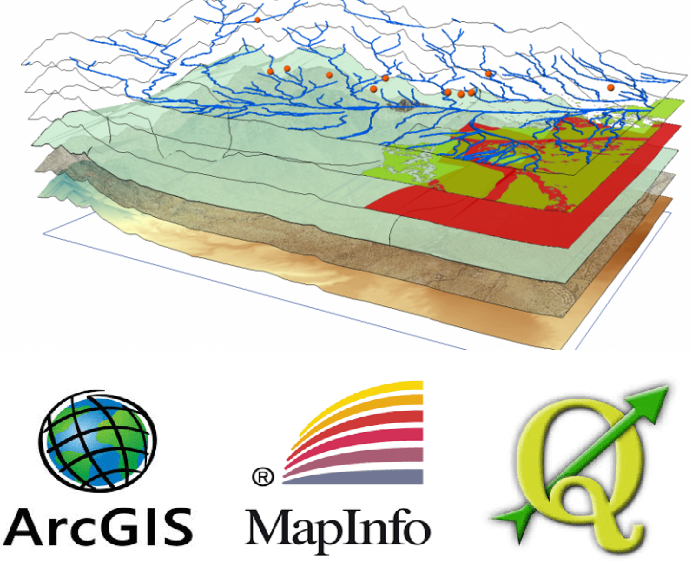
This course delivers to students (IMSI & RT) the essential knowledge on Geographic Information Systems (GIS) and Spatial Analysis in order to solve complex man made issues by creating and managing information about Geospatial data. As well, The proposed course provides detailed understanding about Geographic Information Systems and their applications in Computer engineering and Healthcare, Earth Sciences. This course teaches the fundamental spatial database design tenets and how to apply them in professional practice. It includes topics such as georeferencing, digitizing, metadata development, managing spatial data in an organization, and data processing methods for supporting efficient spatial analysis and cartography.
- Enseignant: Menaouer BRAHAMI